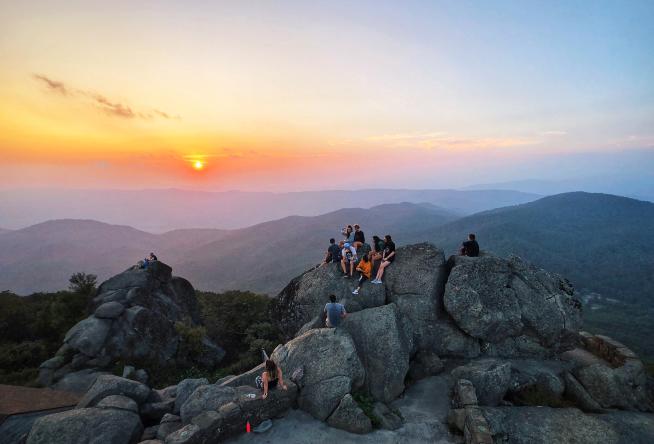
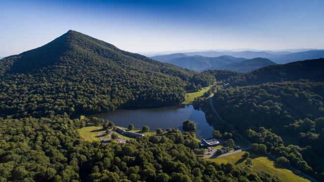
Known to be one of the most popular hiking spots in Virginia’s Blue Ridge Region, Sharp Top Mountain is part of the Peaks of Otter range, alongside its neighbors Flat Top Mountain and Harkening Hill. With 360-degree views, Sharp Top Mountain offers some of the best views in Virginia.
In this helpful guide, we’ll lead you on a trek to discover the beauty of Sharp Top Mountain, providing insights on trails, directions, parking, camping, and suggestions of things to see near your destination.
Know Before You Go
Sharp Top Mountain is known as one of the region’s most popular hikes. Be considerate of other hikers and know that parking is limited, so arrive early.
Also, be sure to carry enough water and snacks. Practice the Leave No Trace 7 Principles and pack out all trash, leaving only footprints behind. While Sharp Top Mountain is a short hike, the steep climb (1,300 feet) features a lot of steps, rocks, and fallen leaves, so proper footwear is important in order to ensure a safe hike.
Overview
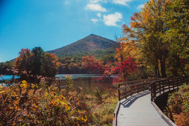
Sharp Top Mountain is a popular hiking destination with a short three-mile roundtrip climb to the summit at 3,875 feet. Thomas Jefferson once believed it was the tallest mountain in the country, but it's not even the tallest mountain at the Peaks of Otter, which is Flat Top Mountain.
The summit features beautiful views of Abbott Lake and the Peaks of Otter Lodge, as well as the surrounding Blue Ridge Mountains.
In addition to the breathtaking views, hikers will also come across an abandoned stone building once used for concessions in the 1950s and 1960s.
Hiking at Sharp Top Mountain
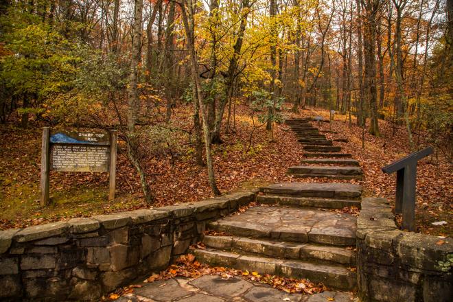
The trailhead is located across from the Peaks of Otter visitor center. The hike is steep, featuring rocky terrain with the addition of stairs made of rocks.
Roundtrip shuttle service to 1,500 feet of the summit is available to visitors from May through early November. Shuttle information, prices, and schedules are available at the Peaks of Otter Lodge website. Shuttle drops off close to the summit (¼ mile), but it’s still a climb with steps to reach the top.
Directions to Sharp Top Mountain
Sharp Top Mountain is located along the Blue Ridge Parkway at Milepost 86.
From Bedford, take Route 43 north for 10 miles to the Blue Ridge Parkway. Sharp Top Mountain will be on your left. From Roanoke, take the Blue Ridge Parkway north for 26 miles to Sharp Top Mountain.
Parking at Sharp Top Mountain
Parking for Sharp Top Mountain is available at the Peaks of Otter Visitor Center. Parking is limited, so plan ahead and arrive early. Additional parking is available at the Peaks of Otter Recreation Area and Peaks of Otter Lodge lots.
Camping
The nearby Peaks of Otter Campground features 144 campsites for those interested in spending the night with views of Sharp Top Mountain. Open seasonally from May to October 31; reservations are recommended as campsites are available on a first-come, first-serve basis. Reservations can be booked up to six months in advance.
What’s Nearby
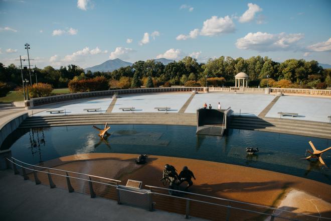
Keep the sightseeing going at the National D-Day Memorial, where you can stroll through nine acres of memorabilia recreating the D-Day journey.
After your adventures, unwind with a glass of wine at the Peaks of Otter Winery and Orchards. If you prefer to sip on a cold brew, check out Beale's Brewery, which serves local craft beer and BBQ.
Peaks of Otter
Located along the Blue Ridge Parkway, Sharp Top Mountain is also part of the Peaks of Otter, made up of nearby Flat Top Mountain and Harkening Hill. Found at milepost 85.6, the Peaks of Otter are among the 7 Natural Wonders of Virginia’s Blue Ridge. If the Sharp Top parking area gets a little too crowded, try heading to an alternative hike at Flat Top Mountain or Harkening Hill.