- Map View:

McAfee Knob
-
Catawba Valley Drive
Catawba, VA 24070 - Visit Website
Click image for larger view
Embark on an unforgettable adventure at McAfee Knob near Roanoke, VA, where natural beauty meets outdoor exploration along the iconic Appalachian Trail. As the most photographed site along the 2,178-mile trail spanning 14 states from Georgia to Maine, McAfee Knob holds a special place in the hearts of hikers and nature enthusiasts.
In Virginia, McAfee Knob serves as the Appalachian Trail's poster and postcard image, showcasing its dramatic beauty to visitors from around the world. This unique geological formation, the jutting end of a crazily tilted rocky mountain, offers a thrilling experience akin to standing on a diving platform, with sweeping views extending approximately 270 degrees.
The 8-mile round-trip hike to McAfee Knob is moderately difficult, featuring a gradual uphill ascent on the way out and a downhill return journey. Along the trail, hikers are treated to panoramic vistas of the Catawba Valley, North Mountain, Tinker Cliffs, and the Roanoke Valley, making every step a rewarding experience.
Plan your visit to McAfee Knob today and discover why it's a must-see destination for outdoor enthusiasts. Don't miss the chance to capture breathtaking photos and create lasting memories amidst Virginia's stunning Blue Ridge Mountains.
Directions
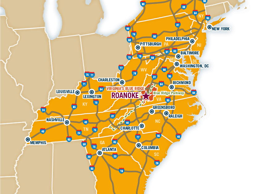
- Directions: •From Roanoke - take I-81 south to exit 141. •Turn left at the traffic light onto route 419 (Electric Rd.) and follow 0.4 miles to next traffic light (Rt. 311) •Turn right onto route 311N and follow 5.6 miles to the top of the mountain •The trailhead parking lot is at the very top on the left.
- Major Access Routes: I-81, Rt. 311
Recreation
- Additional Information: Most photographed spot on the Appalachian Trail.
- Difficulty Level: Moderate
- Distance in Miles - Round Trip: 8
- Friday Hours: Open
- Monday Hours: Open
- Saturday Hours: Open
- Sunday Hours: Open
- Thursday Hours: Open
- Tuesday Hours: Open
- Wednesday Hours: Open