- Map View:
-
Things To Do
- Arts & Culture
- Attractions
- Beer, Wine & Spirits
- Blue Ridge Parkway
- Events
- Free Things To Do
- History & Heritage
- Kid Friendly
- Nightlife
-
Outdoor Adventure
- Leave No Trace
- Trail Guidelines
- Appalachian Trail
- Biking
- Climbing
- Disc Golf
- Fall Color Spots
- Fishing
- Geocaching
- George Washington & Jefferson National Forests
- Greenways
- Hiking Trails
- Horseback Riding
- Kayaking & Paddling
- Kid Friendly Outdoors
- Motorcycle Touring
- Outdoor Outfitters & Shops
- Scenic Drives
- Water Sports
- Wildlife Viewing & Birding
- Classes & Workshops
- Sample Itinerary
- Sample Itineraries
- Shopping
- Spas
- Sports
- Tours
- VBR Savings Pass
- Hotels/Lodging
- Restaurants
- Region
- Plan
Hanging Rock Battlefield Trail
-
1206 Kessler Mill Road
Salem, VA 24153 - Phone: (540) 387-6078 Phone: (540) 387-6078
- Visit Website
Explore the rich history and natural beauty of Hanging Rock Battlefield Trail near Roanoke, VA. This 3.7-mile loop trail offers a unique blend of hiking and historical immersion, making it an ideal destination for outdoor enthusiasts and history buffs alike.
Nestled within Jefferson National Forest, Hanging Rock Battlefield Trail winds through scenic landscapes, including forests, rocky formations, and serene meadows. As you hike, discover the site of the pivotal Battle of Hanging Rock during the American Revolutionary War. Informative interpretive signs along the trail provide fascinating insights into this historic event, enriching your journey with depth and context.
Ascend to Hanging Rock's summit for breathtaking panoramic views of Roanoke Valley and surrounding mountains, perfect for photo opportunities and relaxation. Conveniently accessible from Roanoke, this trail accommodates hikers of all levels, offering a memorable outdoor experience for families and solo adventurers alike.
Plan your visit to Hanging Rock Battlefield Trail today and embark on an unforgettable adventure through Virginia's historical and natural treasures.
Directions
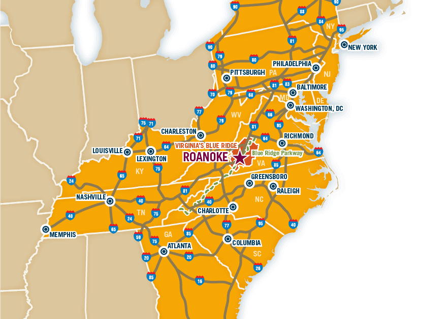
- Directions: - Take exit 141 off I-81S and turn left onto Rt. 419 or take exit 140 off I-81N and turn right onto Rt. 419 - Continue for less than 1/4 mile and turn right onto Dutch Oven Rd. - Parking lot is immediately on left
- Major Access Routes: I-81
Want the latest on Virginia’s Blue Ridge? Securely sign up for our FREE e-newsletter:
Visit Virginia's Blue Ridge 101 Shenandoah Avenue NE Roanoke, VA 24016 (540) 342-6025 (800) 635-5535
Visit Virginia’s Blue Ridge is committed to cultivating an atmosphere that welcomes and celebrates the unique backgrounds, abilities, passions, and perspectives of our vibrant community. As our region’s only destination marketing organization, we have a responsibility to showcase the best the Roanoke Region has to offer, and those assets and strengths come in varied forms. We embrace differences in race, religion, sexual orientation, gender, gender identity or expression, language, visible and invisible disabilities, and all the intersecting identities that make Virginians and visitors alike so unique. We believe our differences make us stronger– and better.


