- Map View:
-
Things To Do
- Arts & Culture
- Attractions
- Beer, Wine & Spirits
- Blue Ridge Parkway
- Events
- Free Things To Do
- History & Heritage
- Kid Friendly
- Nightlife
-
Outdoor Adventure
- Leave No Trace
- Appalachian Trail
- Biking
- Climbing
- Disc Golf
- Fall Color Spots
- Fishing
- Geocaching
- George Washington & Jefferson National Forests
- Greenways
- Hiking Trails
- Horseback Riding
- Kayaking & Paddling
- Kid Friendly Outdoors
- Motorcycle Touring
- Outdoor Outfitters & Shops
- Scenic Drives
- Water Sports
- Wildlife Viewing & Birding
- Classes & Workshops
- Sample Itinerary
- Sample Itineraries
- Shopping
- Spas
- Sports
- Tours
- VBR Savings Pass
- Hotels/Lodging
- Restaurants
- Region
- Plan
County of Roanoke
-
5204 Bernard Drive
Roanoke, VA 24018 - Phone: (540) 772-2006 Phone: (540) 772-2006
- Visit Website
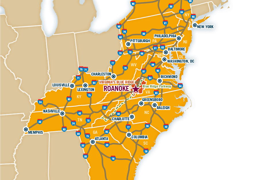
Roanoke County contains about 251 square miles, and has a population of approximately 91,000. It is located at the southern end of the famous Shenandoah Valley of Virginia with the Blue Ridge Mountains to the southeast and the Appalachian range to the northwest. The Town of Vinton, Hollins home of the prestigious Hollins University, and historic Bonsack reside within its boundaries. Roanoke County is located adjacent to the Counties of Craig, Botetourt, Bedford, Franklin, Floyd and Montgomery. It also surrounds the independent Cities of Salem and Roanoke.
Directions
- Directions: I-81 to Exit 143 (I-581/Route 220 South) to Franklin Road/Route 419 Exit. Turn right at light onto Route 419. Go past 3 stoplights and then turn left on Bernard Drive (just before the restaurant 419 West). The offices are located on this street.
- Major Access Routes: US 220, VA-419
Want the latest on Virginia’s Blue Ridge? Securely sign up for our FREE e-newsletter:
Visit Virginia's Blue Ridge 101 Shenandoah Avenue NE Roanoke, VA 24016 (540) 342-6025 (800) 635-5535
Visit Virginia’s Blue Ridge is committed to cultivating an atmosphere that welcomes and celebrates the unique backgrounds, abilities, passions, and perspectives of our vibrant community. As our region’s only destination marketing organization, we have a responsibility to showcase the best the Roanoke Region has to offer, and those assets and strengths come in varied forms. We embrace differences in race, religion, sexual orientation, gender, gender identity or expression, language, visible and invisible disabilities, and all the intersecting identities that make Virginians and visitors alike so unique. We believe our differences make us stronger– and better.


