

 Maps
Maps
 Maps
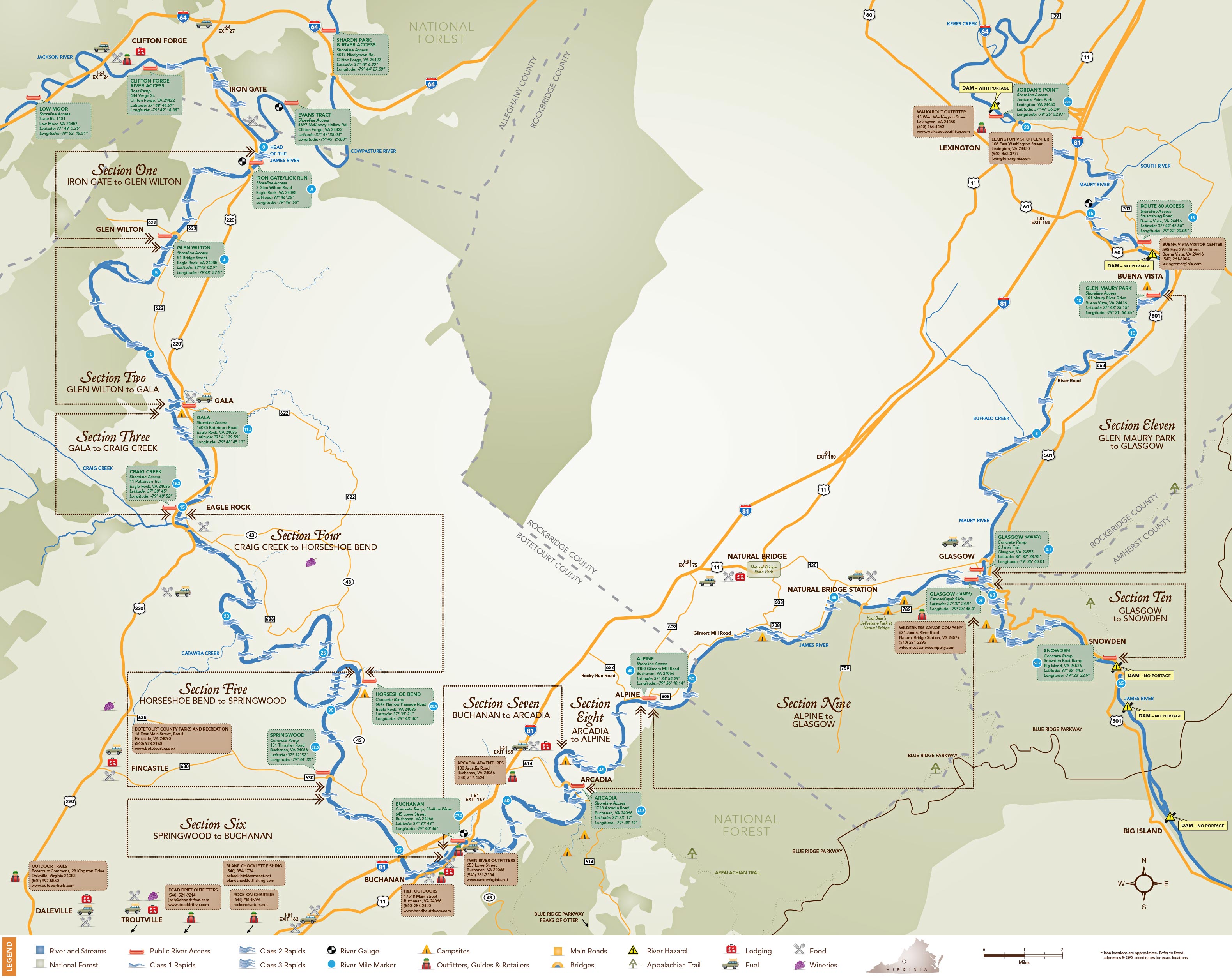
MapsThe James River starts at the confluence of the Jackson and Cowpasture Rivers in Botetourt County north of Roanoke, Virginia. Roughly 46 miles of river flow through the county before crossing into neighboring Rockbridge County for approximately 20 more miles. The Water Trail also encompasses a stretch of the Maury River, including where it meets the Upper James in the charming town of Glasgow, Virginia.
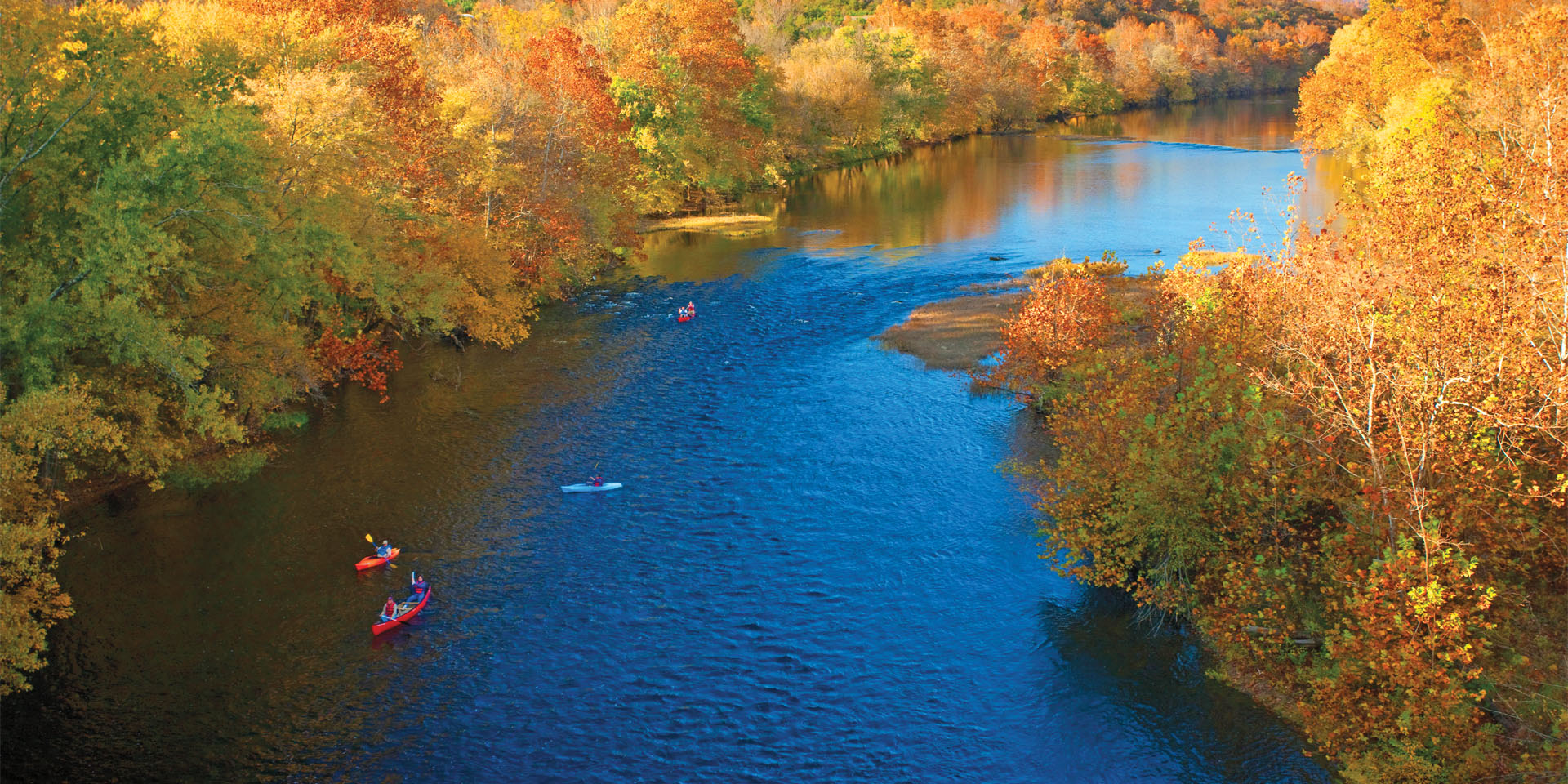
The Upper James River Water Trail is organized into 11 segments, all of which offer breathtaking mountain scenery and excellent fishing. Zoom in on the map below and use the arrow tools to navigate around the map for more details on each segment. Scroll down to find PDFs that are available to download for free.